South Downs
The South Downs are the line of chalk hills that run across the length of West Sussex, rising sharply from the Weald to the north and falling more gently towards the coastal plain — open, grassy, and largely treeless along the ridge itself.
The South Downs Way, a long-distance path and bridleway, follows the top of the ridge for around 100 miles between Winchester and Eastbourne, and the West Sussex stretch takes in some of its best-known viewpoints. The underlying chalk gives the Downs their characteristic rounded profile and short, springy turf, quite different from the wooded Weald below, and the whole area was designated a National Park in 2010, recognising a landscape that had already drawn walkers and cyclists for generations.
Devil's Dyke and the wider Downs
Devil's Dyke, on the Downs above Brighton just over the county boundary, is one of the best-known beauty spots on the whole range — a steep-sided dry valley with sweeping views north over the Weald, and a popular starting point for walks along the ridge. Further west into West Sussex, the Downs pass close to Chichester and Arundel, so a stay in either of those towns can double as a base for a day on the ridge without much extra travel.
Where to Stay near the South Downs
There's no single town on the ridge itself to stay in, but the market towns at its foot make practical bases. Here are some options in Midhurst, Petworth and the surrounding villages.
-
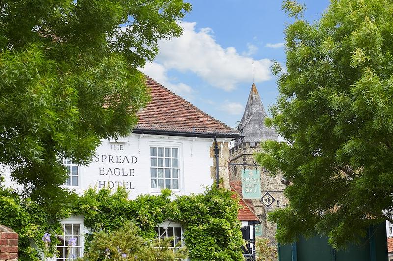 The Spread Eagle Hotel & Spa — a historic coaching inn dating to 1430, in the centre of Midhurst.
 -
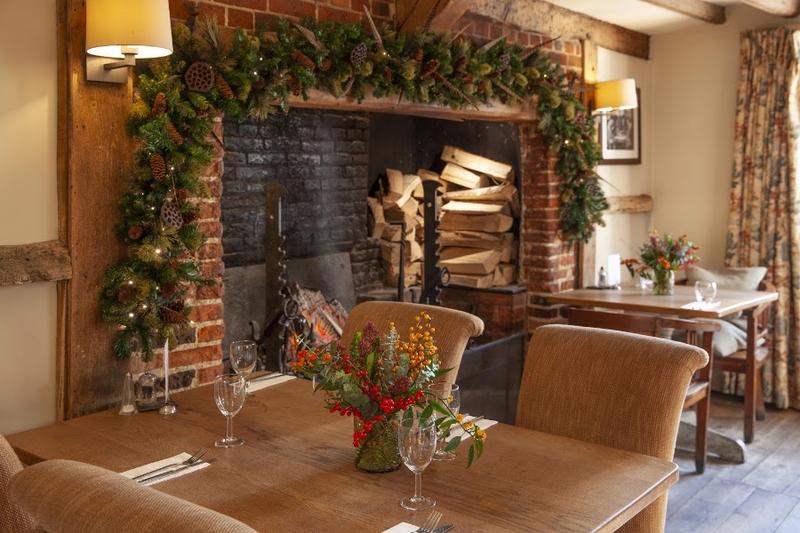 The Angel Inn — a historic coaching inn in the market town of Petworth.
 -
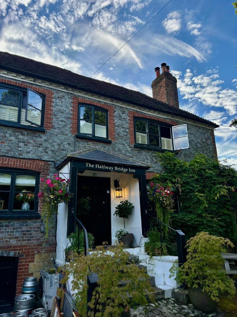 Halfway Bridge — a country inn on the A272 at Lodsworth, between Midhurst and Petworth.
 -
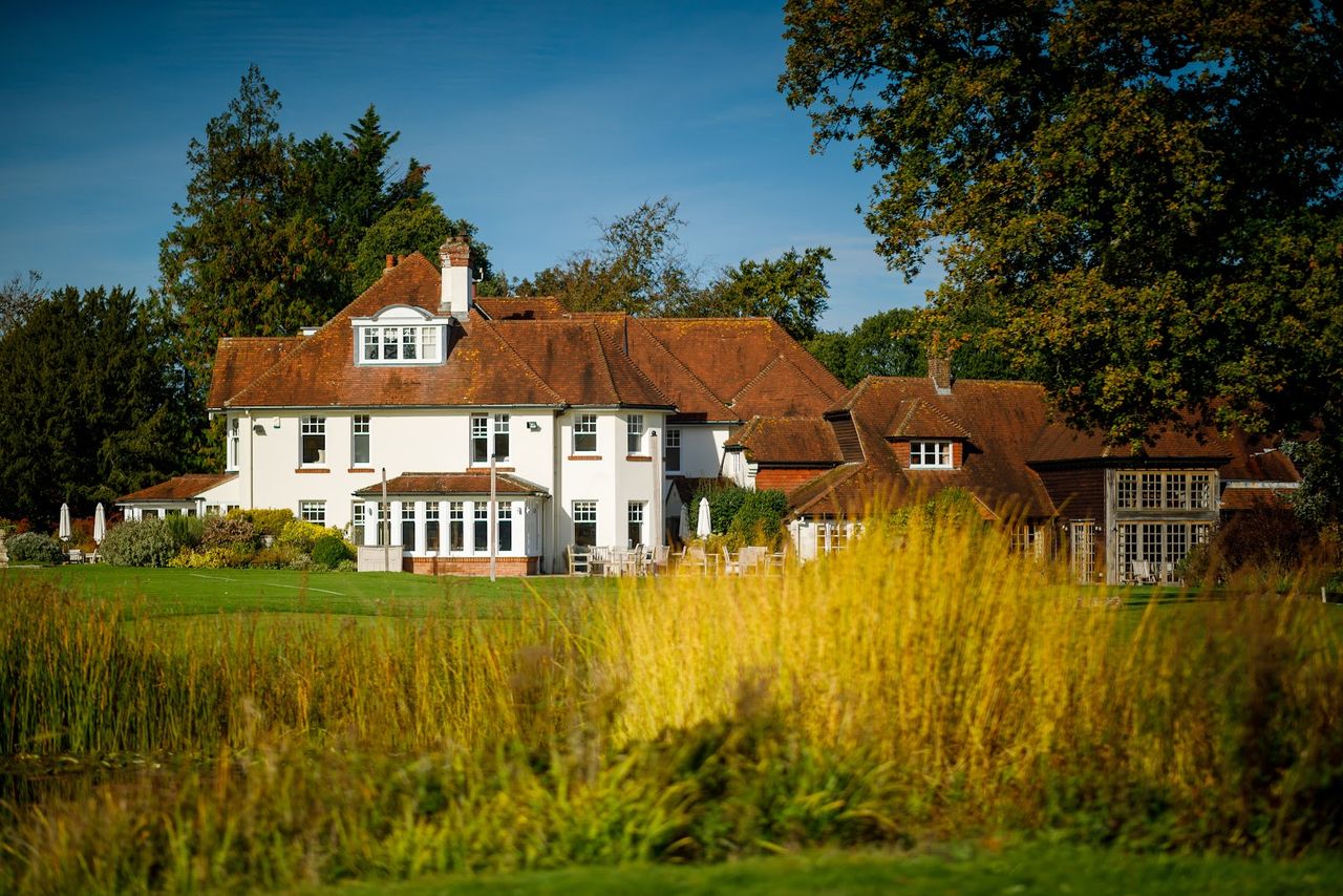 Park House Hotel & Spa — a country house hotel with golf and spa on Bepton Road, Midhurst.
 -
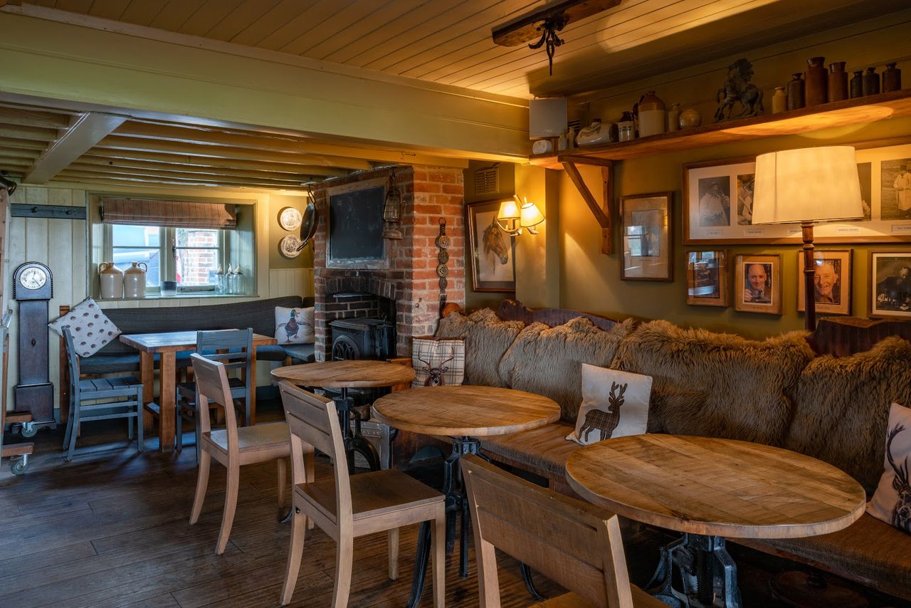 The Welldiggers Arms — a country inn on the A283 near Petworth, with one of the biggest review counts in the area.
 -
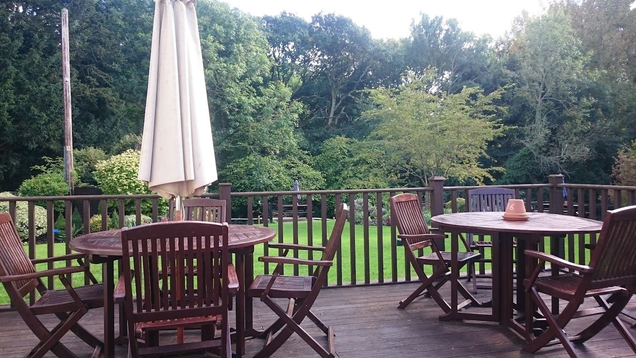 The Cricketers, Duncton — a village pub with rooms right at the foot of the Downs.
 -
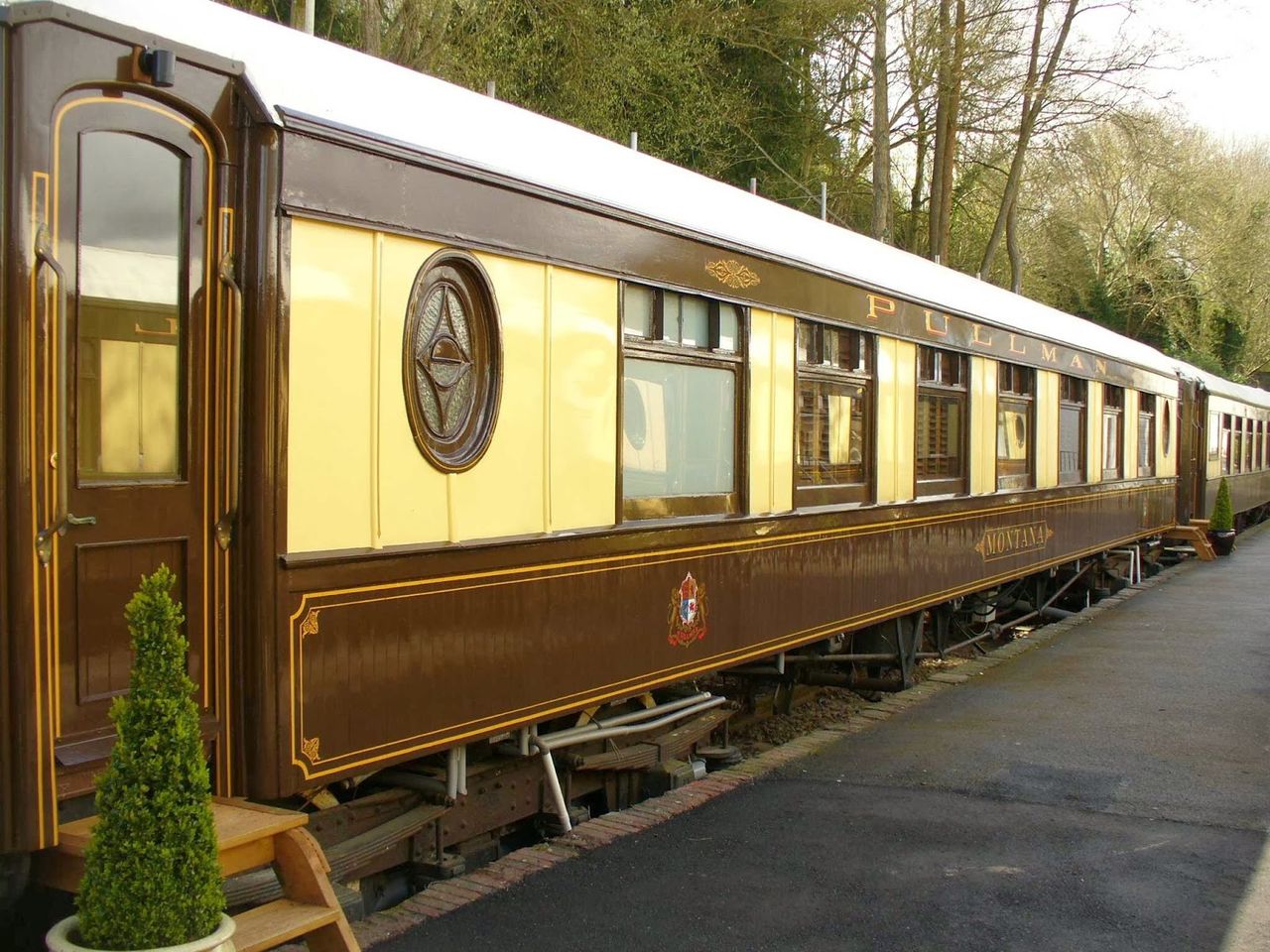 The Old Railway Station — a guest house in a converted Victorian station, with rooms in vintage Pullman carriages.
Getting around
The Downs are best explored on foot or by bike rather than by car, since minor roads across the ridge are narrow and parking at the popular viewpoints is limited. Towns and villages along the foot of the Downs, including Chichester and Arundel, have railway stations and make a more practical base than trying to stay directly on the ridge itself.